

File:British postcode areas map.svg

Size of the above preview of this SVG file: 500 × 773 pixels. Other resolutions: 250 × 386 pixels | 330 × 510 pixels | 960 × 1,483 pixels | 1,920 × 2,967 pixels.
Original file (SVG file, nominally 886 × 1,369 pixels, file size: 846 KB)
Captions
Captions
Add a one-line explanation of what this file represents
Summary
[edit]| Description |
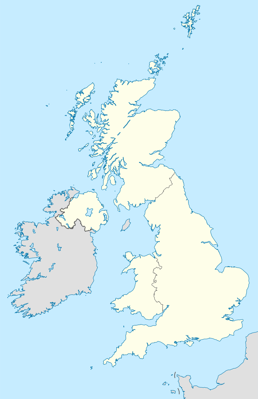
English: Labelled map of Royal Mail postcode areas of the United Kingdom and Crown Dependencies with insets for Manchester and London conurbations.
Equirectangular projection with latitude stretching 170%, WGS84 datum. Geographic limits:
|
| Date | |
| Source |
Derived from Ordnance Survey OS OpenData.
|
| Author | Richardguk |
| Other versions |
|
| SVG development |



| Camera location |   | View this and other nearby images on: OpenStreetMap |  |
|---|

Licensing
[edit]
Richardguk, the copyright holder of this work, hereby publishes it under the following license:


This file is licensed under the Creative Commons Attribution-Share Alike 3.0 Unported license.
Attribution:
- You are free:
- to share – to copy, distribute and transmit the work
- to remix – to adapt the work
- Under the following conditions:
- attribution – You must give appropriate credit, provide a link to the license, and indicate if changes were made. You may do so in any reasonable manner, but not in any way that suggests the licensor endorses you or your use.
- share alike – If you remix, transform, or build upon the material, you must distribute your contributions under the same or compatible license as the original.

|
This file is licensed by the Ordnance Survey of the United Kingdom under their OS OpenData License
In short: you are free to distribute and modify the file as long as you attribute (including year), the Ordnance Survey and Royal Mail. Attribution: Contains Ordnance Survey and Royal Mail data © Crown copyright and database right (year) Note: Derivative works can be licensed under any Creative Commons Attribution 3.0 Licence. |
.svg)
|
This file is licensed under the United Kingdom Open Government Licence v3.0. |
See also: Meta for information on usage on Wikimedia wikis.
|

This SVG locator map includes elements that have been taken or adapted from this locator map:
 United Kingdom location map.svg (by NordNordWest).
File history
Click on a date/time to view the file as it appeared at that time.
| Date/Time | Thumbnail | Dimensions | User | Comment | |
|---|---|---|---|---|---|
| current | 05:45, 28 January 2012 | | 886 × 1,369 (846 KB) | Richardguk (talk | contribs) | Clipped postcode area strokes to GB mainland (requires non-rectangular clip-path renderer); added dashed strokes to clarify nearby offshore postcode area boundaries (France–GY, France–JE, GY–JE, HS–IV, IV–PH, KA–PA, PA–PH); font-family="'Lib |
| 22:00, 1 December 2011 |  | 886 × 1,369 (844 KB) | Richardguk (talk | contribs) | Main map limits and coastline taken from File:United Kingdom location map.svg. Label sizes refined. Colour-scheme amended for greater similarity with UK location maps. SVG out | |
| 16:19, 25 November 2011 |  | 498 × 986 (368 KB) | Richardguk (talk | contribs) |


You cannot overwrite this file.
File usage on Commons
The following 6 pages use this file:
.svg)

File usage on other wikis
The following other wikis use this file:
- Usage on cy.wikipedia.org
- Usage on de.wikipedia.org
- Usage on en.wikipedia.org
- Usage on fr.wikipedia.org
- Usage on gu.wikipedia.org
- Usage on hi.wikipedia.org
- Usage on it.wikipedia.org
- Usage on kn.wikipedia.org
- Usage on simple.wikipedia.org
- Usage on ur.wikipedia.org
